Laden...
Laden...
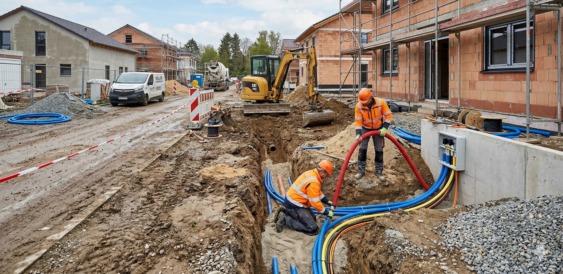
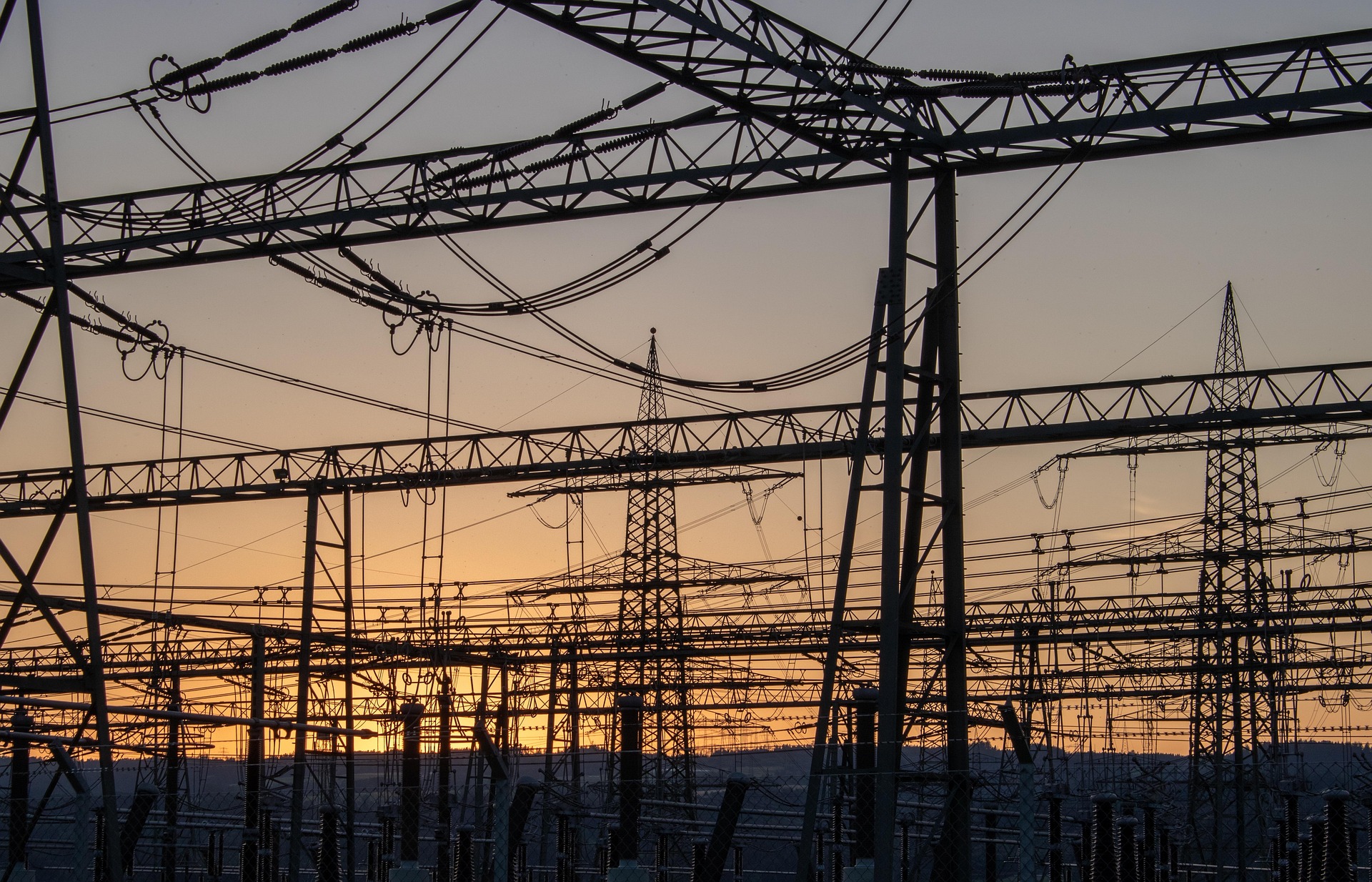
Luure's solutions enable monitoring of routes, pipes and cables, support maintenance work and assist in the planning of utilities and grid operators.
Semi-)automated surveying of plots, construction sites and buildings in georeferenced 2D/3D imagery
Automated analysis of drone footage of construction sites, roof surfaces and infrastructure. Our AI identifies damage, segments surfaces and creates 3D environment models – reducing expert working time by up to 80%.