

Laden...
Laden...
Netzplanungs-Unternehmen
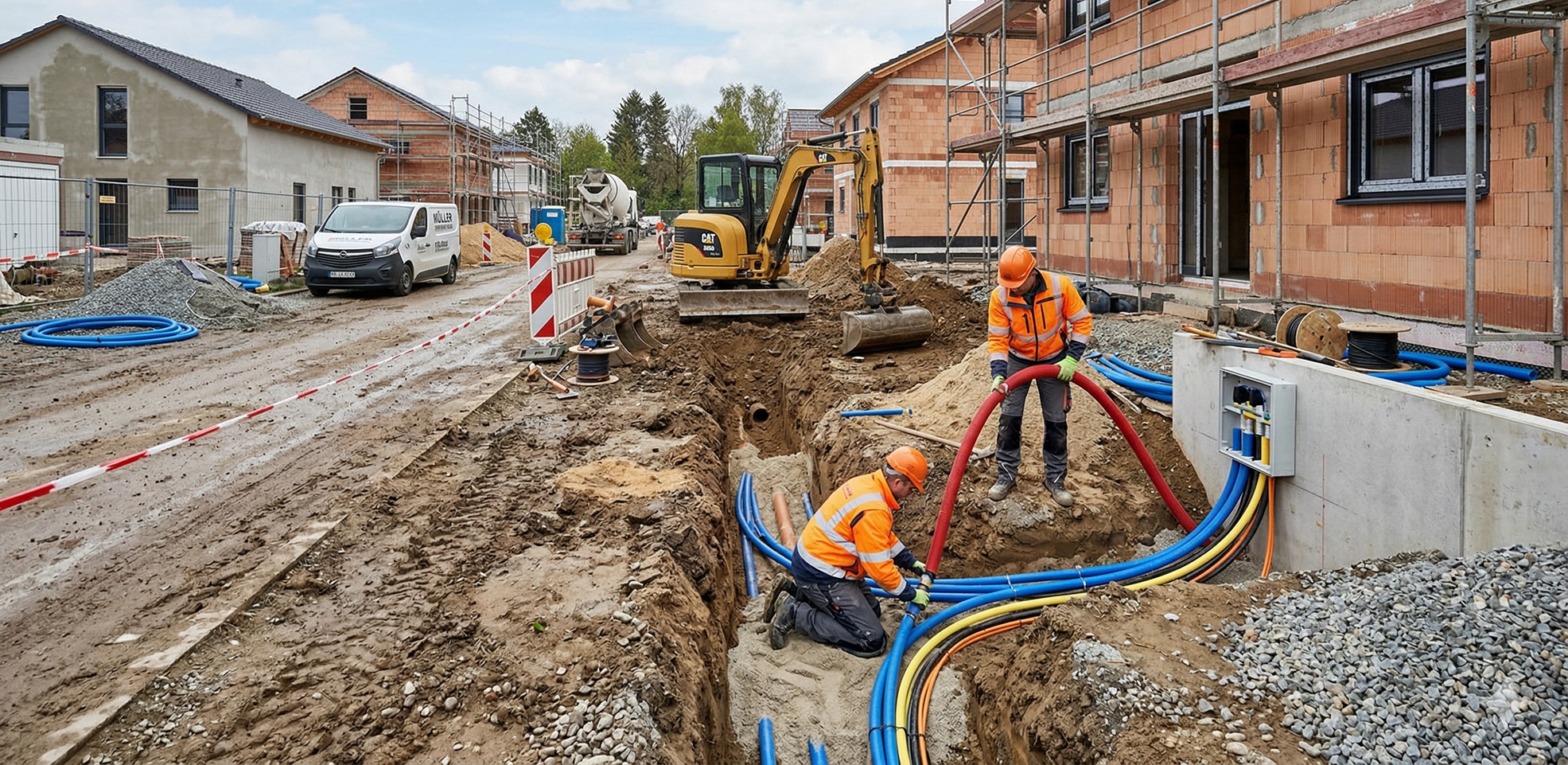
Together with our partner — a service provider for energy utilities — we are designing a solution for the (semi-)automated surveying of house connections using computer vision and AI.
60%
Reduction in follow-up queries
24 hours
Targeted duration from georeferenced image documentation to completed survey sketch
Innovation in the construction sector and a shortage of skilled workers place high demands on our business partners. A core task of our project partner as a service provider for energy utilities is the precise surveying and documentation of house connection works. The surveyors involved must ensure compliance with applicable standards and the requirements of energy utilities.
Many solutions on the market already offer approaches to support individual work steps, such as the creation of georeferenced recordings at the construction site.
As a pioneer in its industry, our business partner — together with Luure — aims to map the entire process from data capture to the survey sketch using AI.
Our Approach
Together with our partner, we are currently working on the following solution: