News, insights, and best practices from the world of computer vision
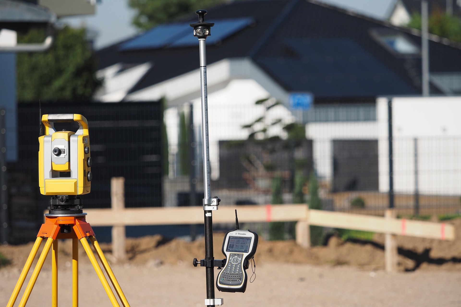
The measurement of distances in 3D spaces is a critical aspect of many application areas, particularly in construction and engineering. Choosing the right distance metric can significantly influence the accuracy and efficiency of projects. This article presents the most important methods for distance measurement in 3D spaces and explains their applications in construction and engineering.
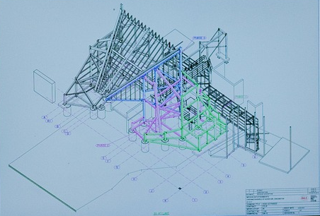
Working with geospatial data is a central component of Luure's solutions, spanning everything from mapping to 3D modeling. Two of the most commonly used formats in this field are GeoJSON and TIFF (or GeoTIFF). Both formats have their own advantages and challenges, particularly when it comes to processing 3D data.
Get the latest insights on computer vision and AI delivered to your inbox.