Working with geospatial data is a central component of Luure's solutions, spanning everything from mapping to 3D modeling. Two of the most commonly used formats in this field are GeoJSON and TIFF (or GeoTIFF). Both formats have their own advantages and challenges, particularly when it comes to processing 3D data.
GeoJSON: Structured Geodata
GeoJSON is a format that stores geospatial information in a JSON structure. It is particularly useful for representing geometries, features, and feature collections. A major advantage of GeoJSON is its readability and straightforward integration into web applications. However, it also comes with challenges:
- Complexity with 3D data: Although GeoJSON handles 2D data well, working with 3D data can be complex. Representing elevation information requires additional attributes and can significantly increase file size.
- Large datasets: GeoJSON is not optimized for processing large volumes of data. Large datasets can impair performance and slow down processing.
- Coordinate systems: To correctly represent 3D data, the coordinate system must be precisely defined. This is often done manually and is prone to errors.
TIFF and GeoTIFF: Raster Data with Geospatial Information
TIFF (Tagged Image File Format) is a widely used format for storing raster images. GeoTIFF is an extension of the TIFF format that stores geospatial information in the file headers, enabling the embedding of coordinate systems and other metadata directly in the image file.
- Georeferencing: One of the primary tasks when working with GeoTIFFs is correct georeferencing — linking the coordinates of image pixels to real-world geographic coordinates.
- File size: TIFF files can become very large, especially at high resolutions, which can complicate processing and data exchange.
- Conversion: Converting between GeoJSON and GeoTIFF can be technically demanding. While tools such as GDAL facilitate this process, correctly representing geospatial information often requires manual adjustments.
Integrating 3D Data
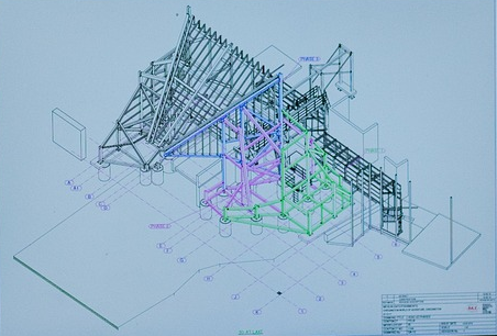
Integrating 3D data into geospatial workflows places particular demands on the processing pipeline. 3D formats such as OBJ, STL, or PLY often need to be manually linked to coordinate systems in order to be correctly positioned on a map — a process that can be time-consuming and error-prone.
- Coordinate systems: Defining the correct coordinate system is essential for the accurate positioning of 3D models on a map.
- Visualization: Visualizing 3D data requires specialized software and techniques. Rendering 3D data within a 2D map can be challenging and often requires additional processing steps.
Practical Tools and Solutions
A range of tools and libraries can assist with working with geospatial data:
- GDAL: One of the most widely used libraries for converting and handling geospatial data. It supports a wide variety of formats including GeoJSON and GeoTIFF, and provides functions for georeferencing and data conversion.
- Rasterio: A Python library developed specifically for working with raster data. It offers a straightforward API for working with GeoTIFFs and other raster formats.
- Geospatial libraries: Libraries such as GeoPandas and Rasterio provide functions for handling and analyzing geospatial data and are particularly useful when working with large datasets.
Conclusion
Working with 3D GeoJSON and TIFF files offers many possibilities but also presents a number of challenges. Correct georeferencing, handling large datasets, and integrating 3D data all require specialized knowledge and tools. With the right tools and techniques, however, these challenges can be overcome to produce precise and meaningful geospatial analyses.
Choosing the right format and using the appropriate tools are critical to success when working with geospatial data. By understanding the characteristics and challenges of GeoJSON and GeoTIFF, practitioners can achieve the best possible results.
Sources: