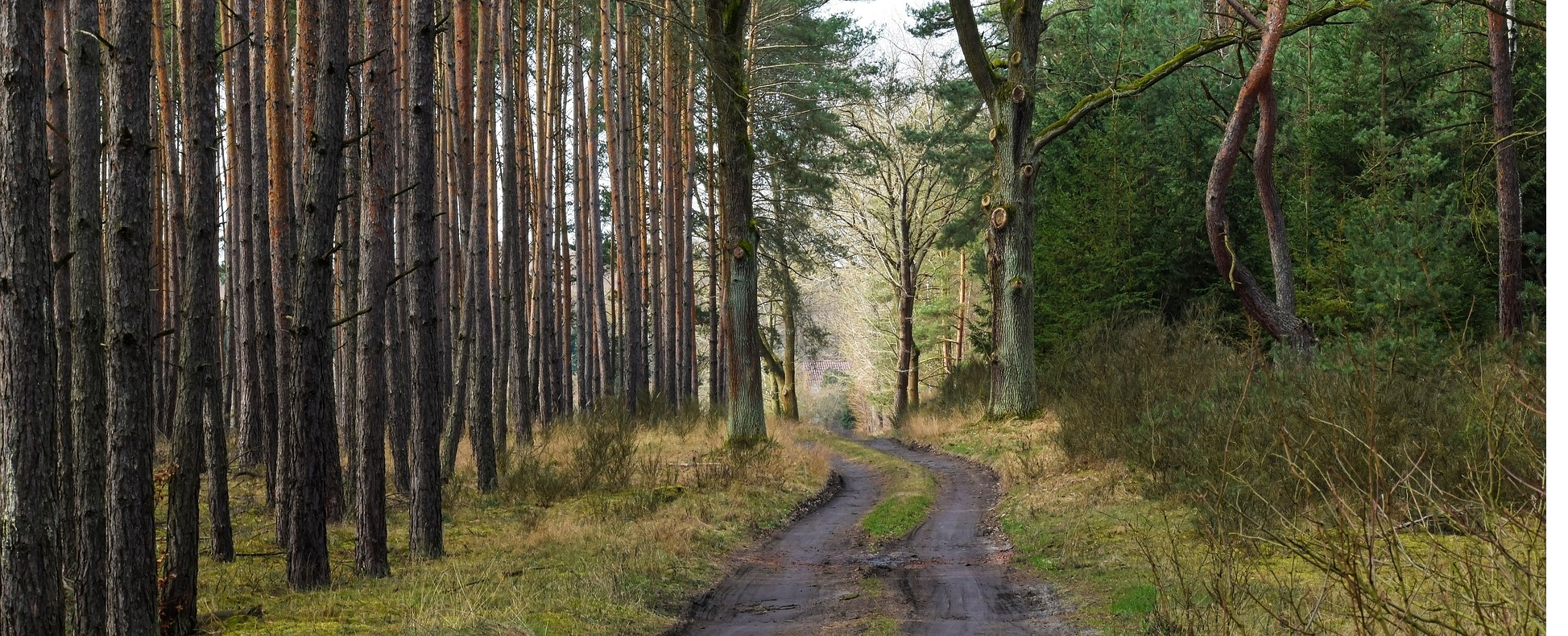
Forests, roadsides and municipal green spaces can only be monitored using conventional methods at great expense in terms of personnel and time. Our AI-powered vegetation monitoring combines camera footage or drone surveys with trained computer vision models to carry out large-scale analyses in an automated and reproducible manner.
How it works
A drone flight over the target area delivers high-resolution image data – optionally using multispectral or infrared cameras. Our AI models analyse the footage fully automatically, detecting:
- Tree health: discolouration, crown damage, drought stress potential
- Pest infestation: early signs of bark beetle, gypsy moth and others
- Vegetation encroachment: overgrowth of paths, utility corridors or building boundaries
- Stock changes: comparison of multiple surveys for growth and loss documentation
Benefits for foresters
Early warning systems instead of damage control: affected individual trees or areas are identified before damage spreads through the stand. Harvesting and maintenance measures can be prioritised based on data.
Benefits for municipalities
Roadside greenery, parks and embankments are digitally mapped and assessed for hazard potential – such as overhanging branches above roads or vegetation along watercourses. The results feed directly into maintenance plans.
Result
You receive a georeferenced report PDF as well as optional GIS export data that can be imported directly into existing planning and management software.