Laden...
We offer technology-driven solutions to simplify everyday work in the skilled trades
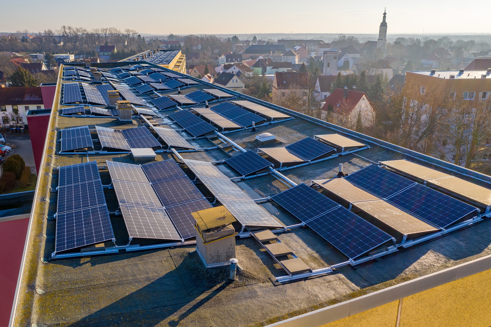
Semi-)automated surveying of plots, construction sites and buildings in georeferenced 2D/3D imagery
Together with a project developer and a commercial enterprise, we are prototypically developing a software solution that largely automates the process of surveying, measuring, and planning the installation of solar systems in a commercial park. Based on satellite and drone data, our solution aims to identify usable (roof) surfaces on the premises, measure them in compliance with DIN standards, and plan solar modules from various manufacturers on those surfaces.
Let's talk about your project