
In utility construction, the open trench must be documented precisely before backfilling. Manual surveying is time-consuming and ties up skilled workers on site.
ATRIOS Net Solutions
AI-assisted utility surveying in the open trench
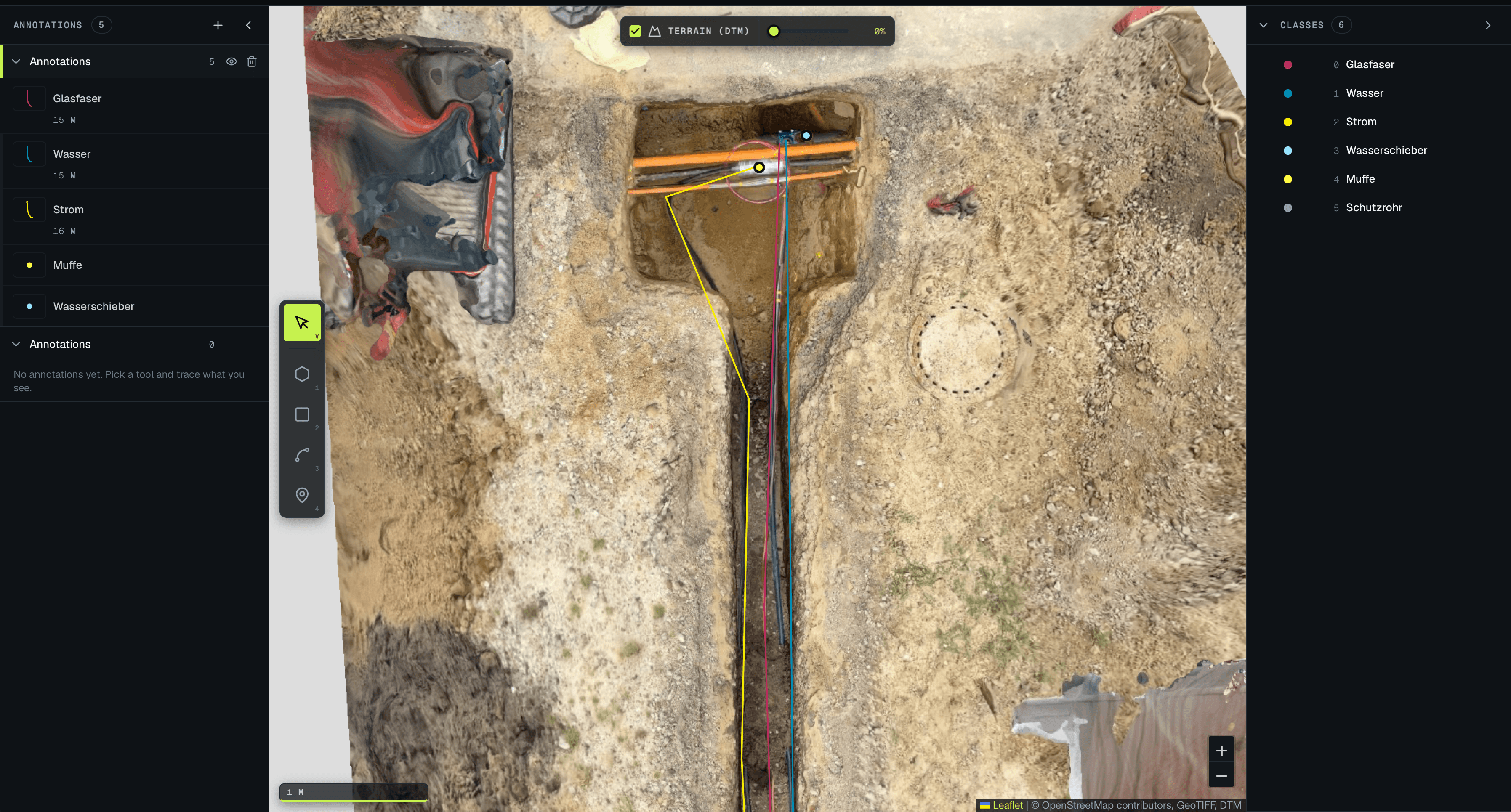
Atrios is digitalising utility construction. The Luure Surveying AI detects, classifies and measures components, utility lines and other elements from georeferenced site imagery and returns them in structured form to the geoinformation system.

CONTEXT
- INPUT
- ORTHOMOSAIC (.TIFF), GEOREFERENCED
- PROCESSING
- DETECTION · CLASSIFICATION · POLYGONS
- OUTPUT
- .GEOJSON → GIS, WITH PER-OBJECT CONFIDENCE