
SATELLITE · AREA MONITORING
Satellite image analysis
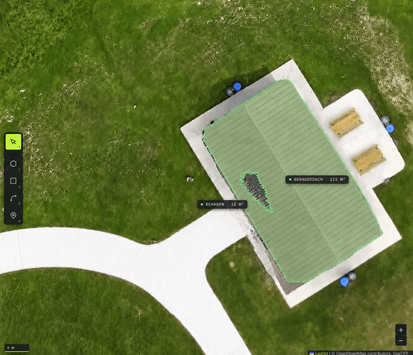
Large-scale monitoring from multispectral satellite imagery: classify areas, detect changes over time, document conditions.
PROBLEM
For large-area observation — of vegetation or infrastructure, for instance — recurring on-site inspections are expensive and slow. Satellite data is available, but evaluating it in a targeted way is demanding.
- INPUT
- MULTISPECTRAL SATELLITE IMAGERY
- PROCESSING
- CLASSIFICATION · CHANGE DETECTION
- OUTPUT
- AREA MAPS · TIME SERIES