
INFRASTRUCTURE · CIVIL ENGINEERING
Utility documentation in civil engineering
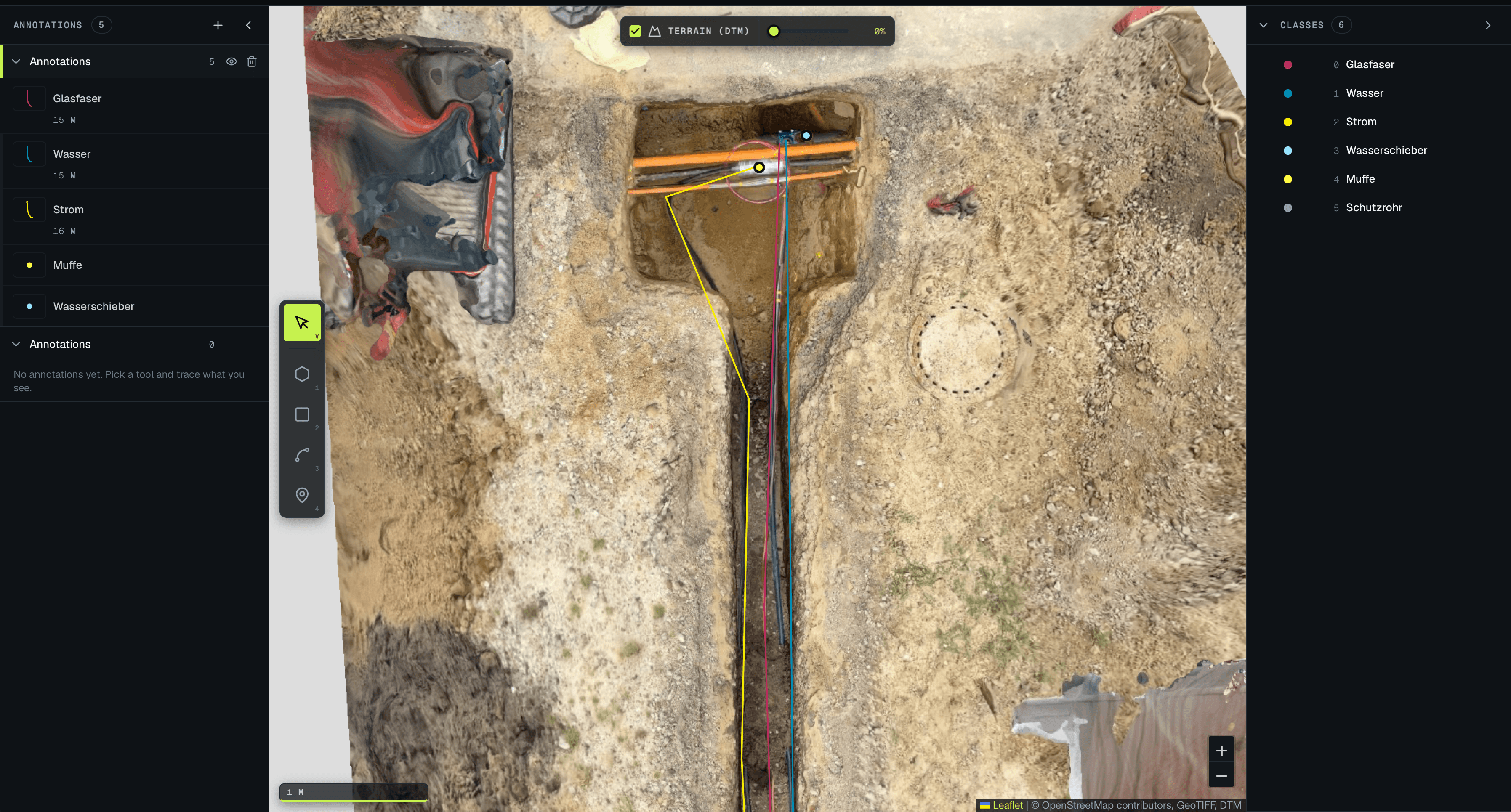
Photographically capture open trenches, detect and measure utility lines and components, document them GIS-ready — with Luure Surveying AI. Less rework at the desk, documentation straight from the site capture.
PROBLEM
Before backfilling, the open trench has to be documented — today mostly manually by hand-measuring and photos. That is time-consuming, error-prone and often incomplete, leading to costly rework later and uncertainty about the actual utility routing.
- INPUT
- ORTHOMOSAIC (.TIFF), GEOREFERENCED
- PROCESSING
- DETECTION · CLASSIFICATION · POLYGONS
- OUTPUT
- .GEOJSON → GIS, WITH PER-OBJECT CONFIDENCE
REFERENCE
REFERENCE: ATRIOS